TNTatlas for Windows 10 - Full description
Welcome to the ultimate destination for Windows 10 users seeking a powerful geospatial software solution. Introducing TNTatlas, a cutting-edge creation by MicroImages, Inc. This remarkable software seamlessly integrates with Windows 10, empowering you to explore, analyze, and present geospatial data with unparalleled ease.
TNTatlas unleashes your imagination by providing an extensive range of tools and functionalities. From interactive mapping to advanced spatial analysis, this software has it all. With its intuitive interface, even novices can effortlessly navigate through its features, while seasoned professionals will appreciate its depth and versatility.
Unleash your creativity as you effortlessly visualize and manipulate diverse geospatial data formats. Whether it's raster images, vector data, or elevation models, TNTatlas handles them all flawlessly. Dive into the depths of your data with powerful querying capabilities, enabling you to extract valuable insights and make informed decisions.
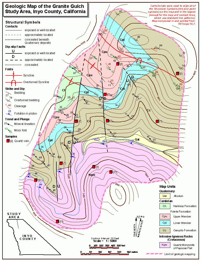
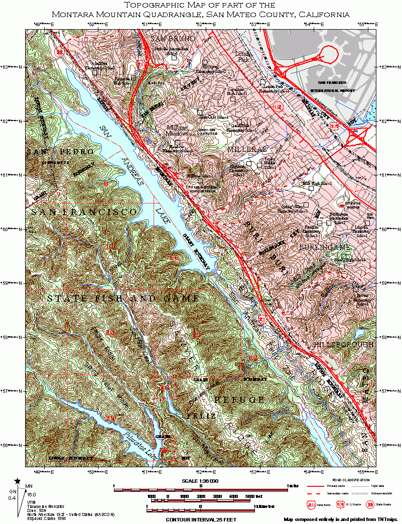
Presenting your findings has never been more captivating. TNTatlas equips you with dynamic tools to create stunning maps, interactive presentations, and 3D visualizations. Engage your audience with captivating animations, annotations, and multimedia integration, ensuring your message is conveyed with impact.
TNTatlas seamlessly integrates with Windows 10, harnessing its full potential. Benefit from enhanced performance, stability, and security, ensuring a seamless experience throughout your geospatial journey. With regular updates and dedicated support, MicroImages, Inc. ensures you stay at the forefront of geospatial innovation.
Experience the power of TNTatlas today and unlock a world of possibilities. Download now and embark on a geospatial adventure that will revolutionize the way you explore, analyze, and present your data. Discover the future of geospatial software with TNTatlas, brought to you by MicroImages, Inc.


