TatukGIS Editor

TatukGIS Editor 5.76.1.3137

Powerful GIS editing tool for professionals.

Discover TatukGIS Editor, a powerful and versatile GIS software designed for professionals and enthusiasts alike. This intuitive tool empowers users to create, edit, visualize, and analyze geospatial data with ease. Featuring a user-friendly interface, TatukGIS Editor supports a wide range of formats, ensuring seamless integration with existing projects. Its advanced editing capabilities, coupled with robust analysis tools, make it ideal for mapping, planning, and environmental studies. Elevate your GIS experience with TatukGIS Editor, where precision meets creativity.

TatukGIS Editor 5.76.1.3137 details

Author:
License: Trialware
Price: FREE
Released:
File size: 223.00 MB
Downloads: 4
Keywords: mapping, Coordinate, GIS Editor, spatial analysis, data visualization, Map, geospatial tools, TatukGIS Editor free download, GIS, map editing, TatukGIS Editor, TatukGIS, GIS software, download TatukGIS Editor, geospatial, editing, software, Add Layer, Layer, Map Creator
Author URL: https://www.tatukgis.com/products/viewer/viewer.aspx
TatukGIS Editor screenshot
TatukGIS EditorEditorsWindows 11, Windows Server 2022, Windows Server 2019, Windows Server 2016, Windows 10 32/64 bit, Windows Server 2012, Windows 2008 32/64 bit, Windows 2003, Windows 8 32/64 bit, Windows 7 32/64 bit, Windows Vista

User Rating: 0 (0 votes)

TatukGIS Editor for Windows 10 - Full description

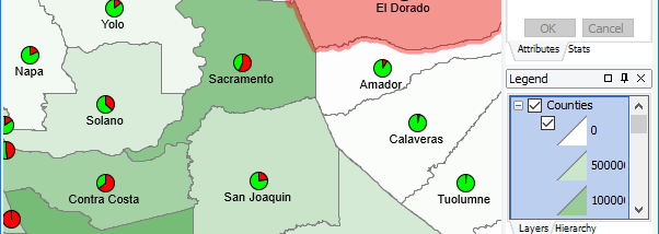
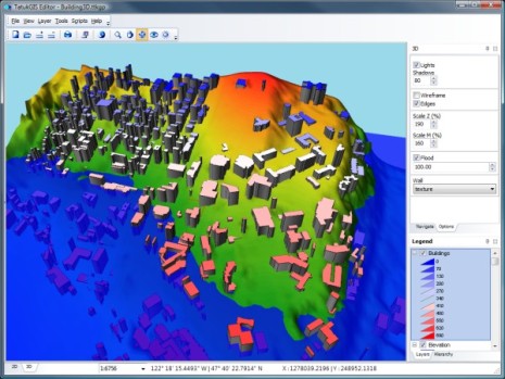
Discover the power of geospatial analysis with TatukGIS Editor, a robust and versatile GIS software designed for Windows 10. Developed by TatukGIS, this feature-rich application caters to both professionals and enthusiasts, offering a comprehensive suite of tools for editing, analyzing, and visualizing geographic data. With an intuitive interface, users can easily manipulate vector and raster data, create detailed maps, and perform complex spatial analyses.


TatukGIS Editor supports a wide range of file formats, ensuring seamless integration with existing projects. Its advanced functionality includes customizable symbology, layer management, and geoprocessing capabilities, empowering users to derive meaningful insights from their data. Whether you're working on environmental studies, urban planning, or resource management, TatukGIS Editor is your go-to solution for all things GIS. Experience the future of geographic information systems with TatukGIS Editor and elevate your mapping projects to new heights. Download now and unlock the potential of your spatial data!

TatukGIS Editor for Windows 10 - Post your review